TOPOGRAPHY & SITE MODELSTopography & site models
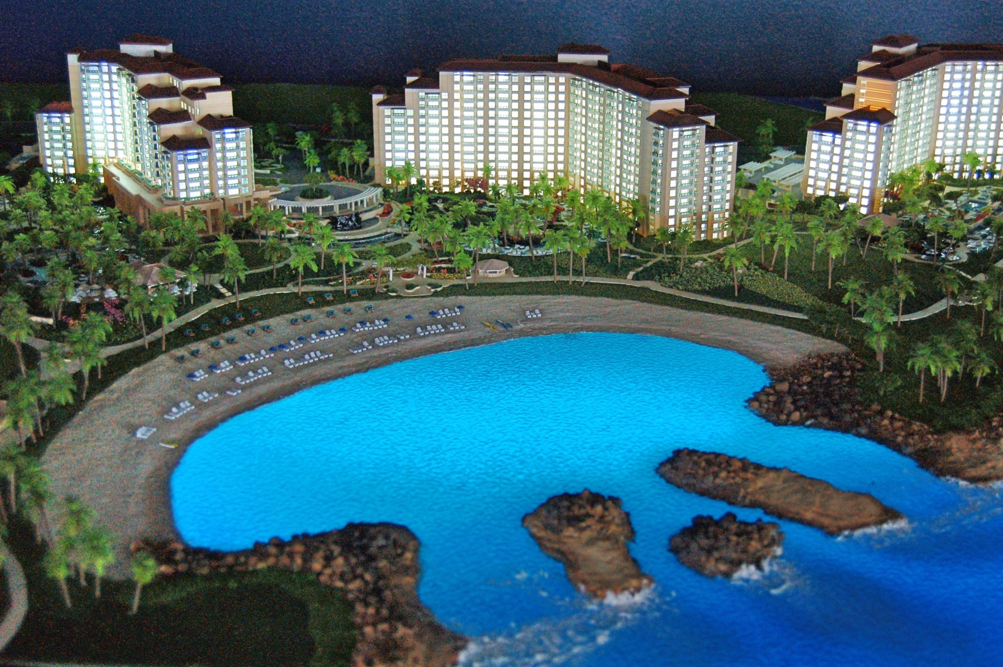
Archetype3D builds custom physical topography and site models in Denver, Colorado, and ships them worldwide. We show terrain, roads, buildings and golf courses in their landscape for planning and presentation.
See the work Home / Topography & site models
THE APPROACHSee the land and the plan together
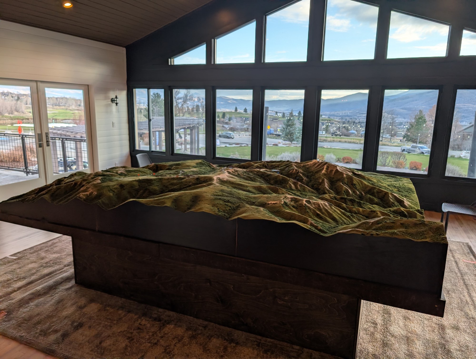
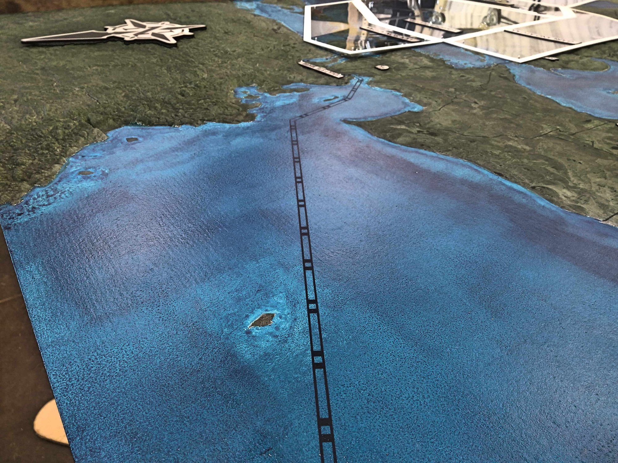
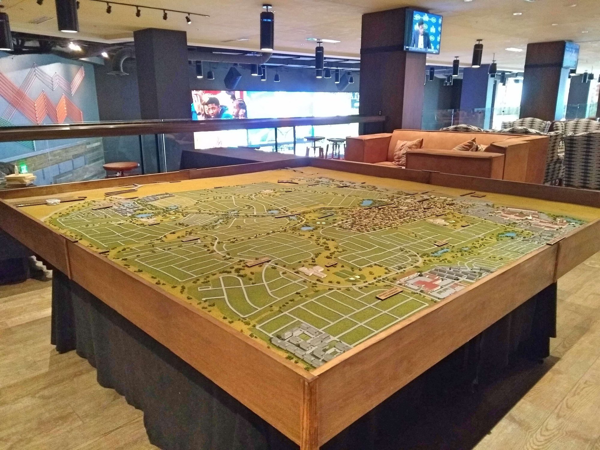
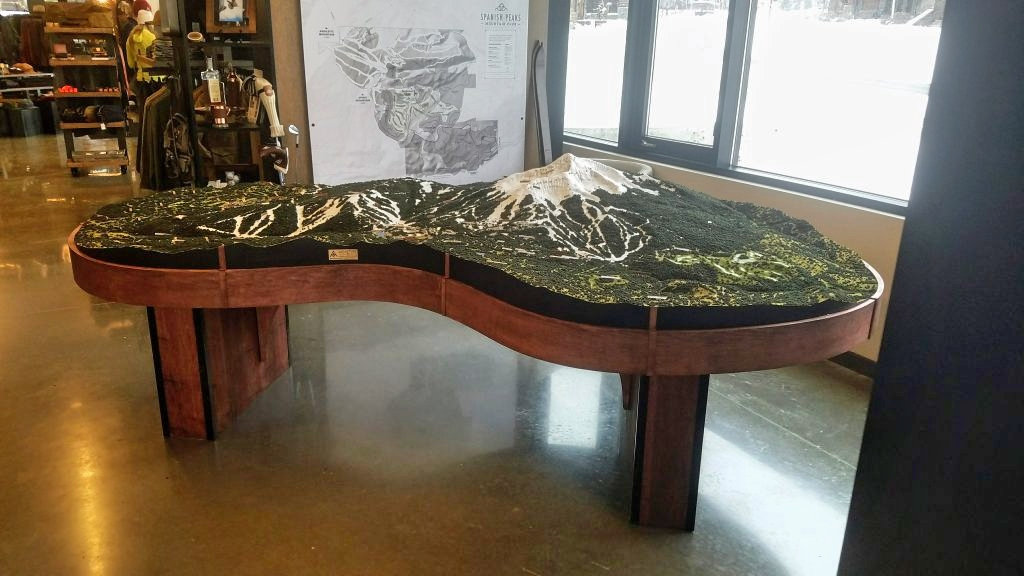
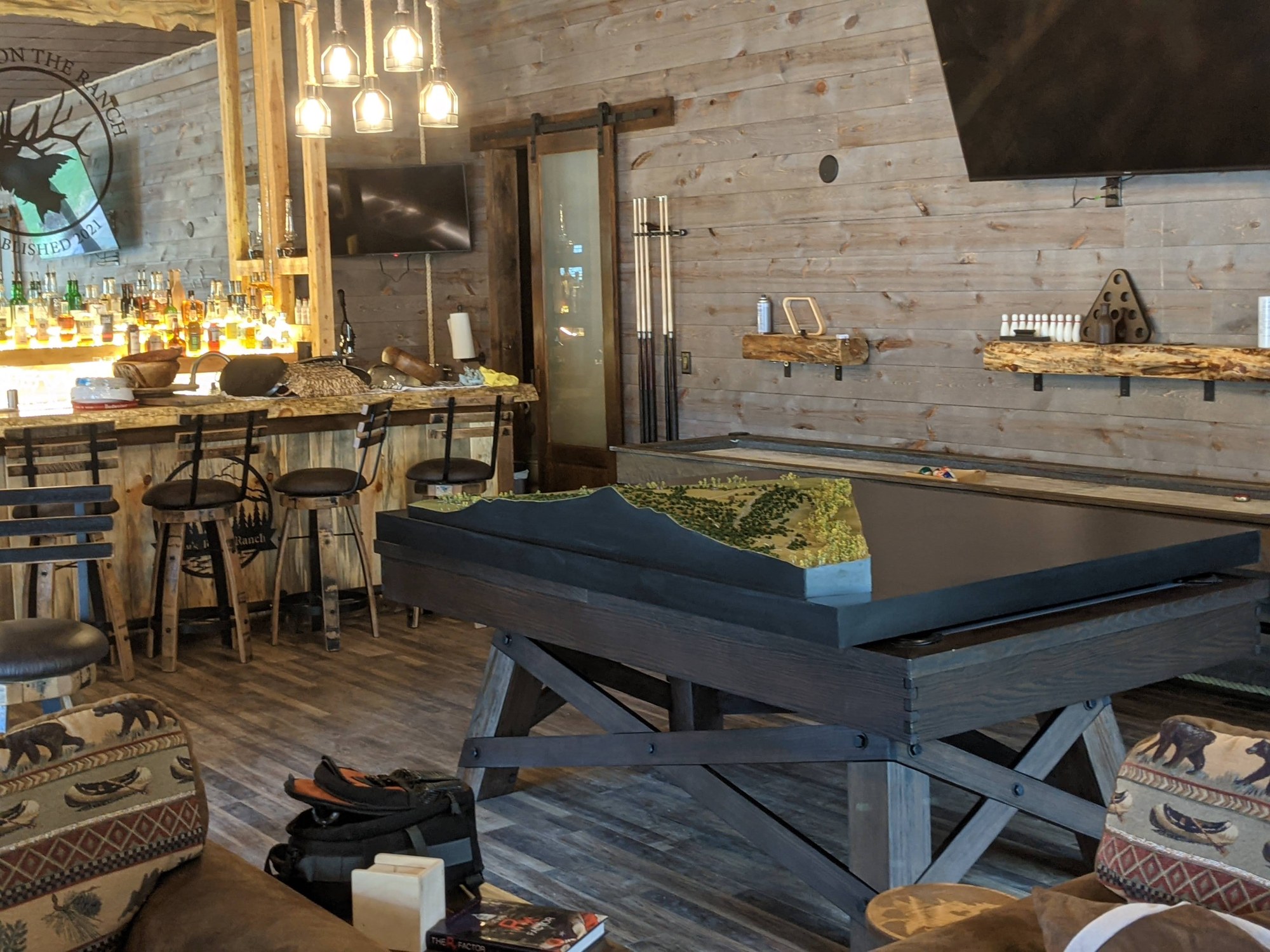
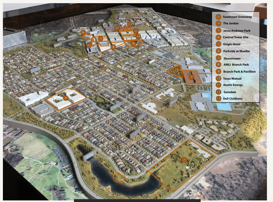
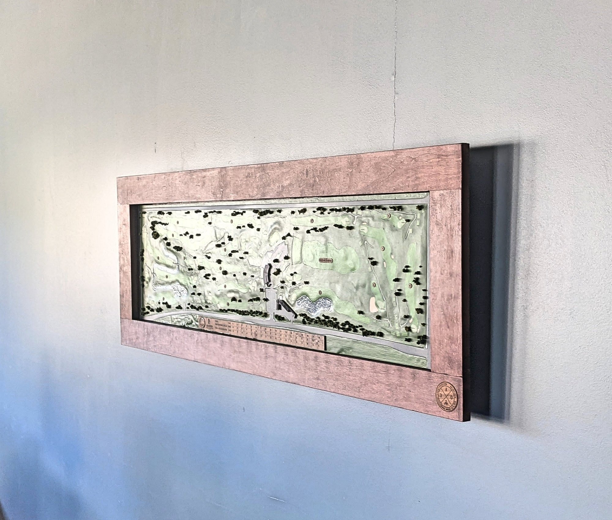
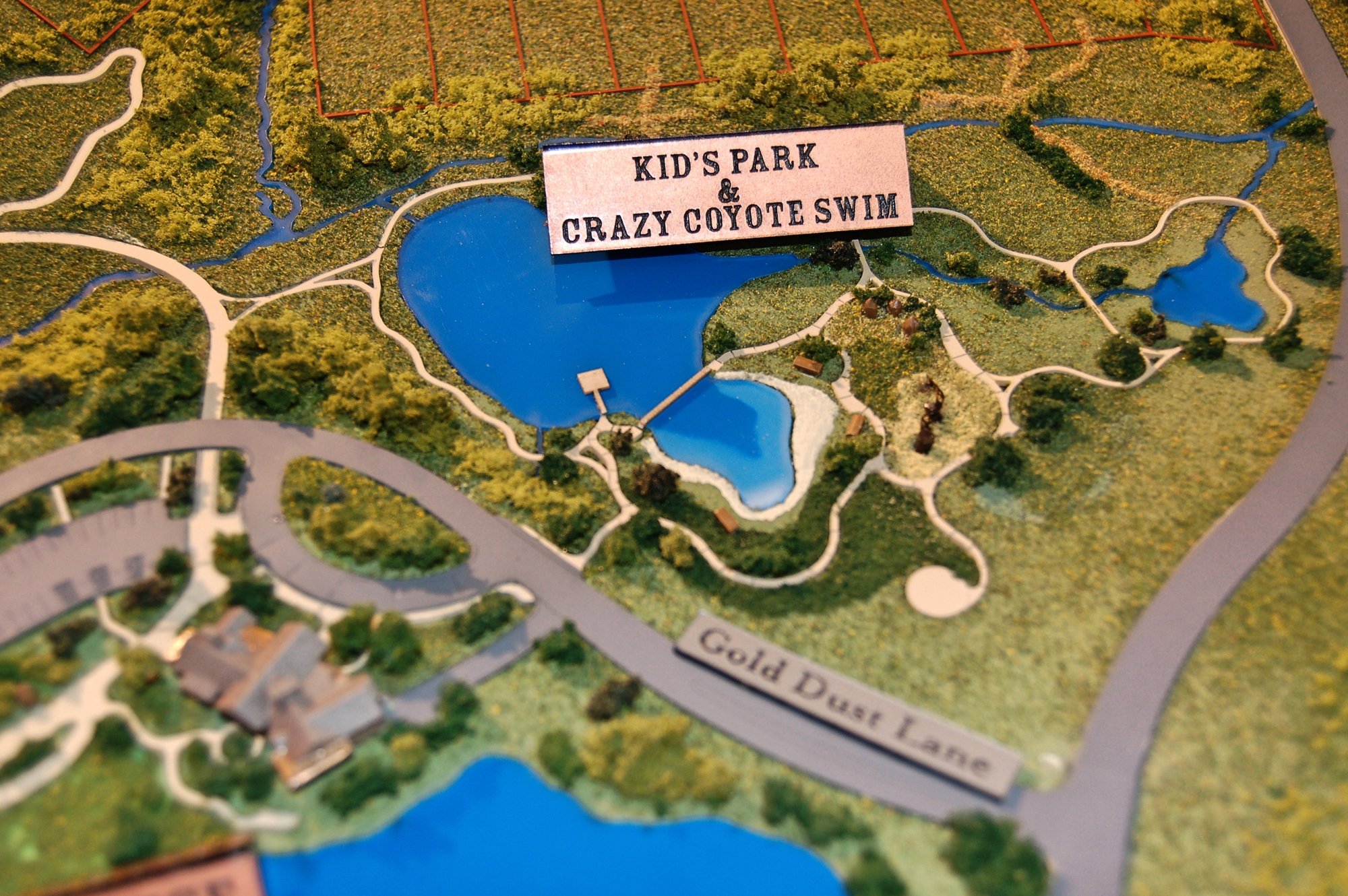
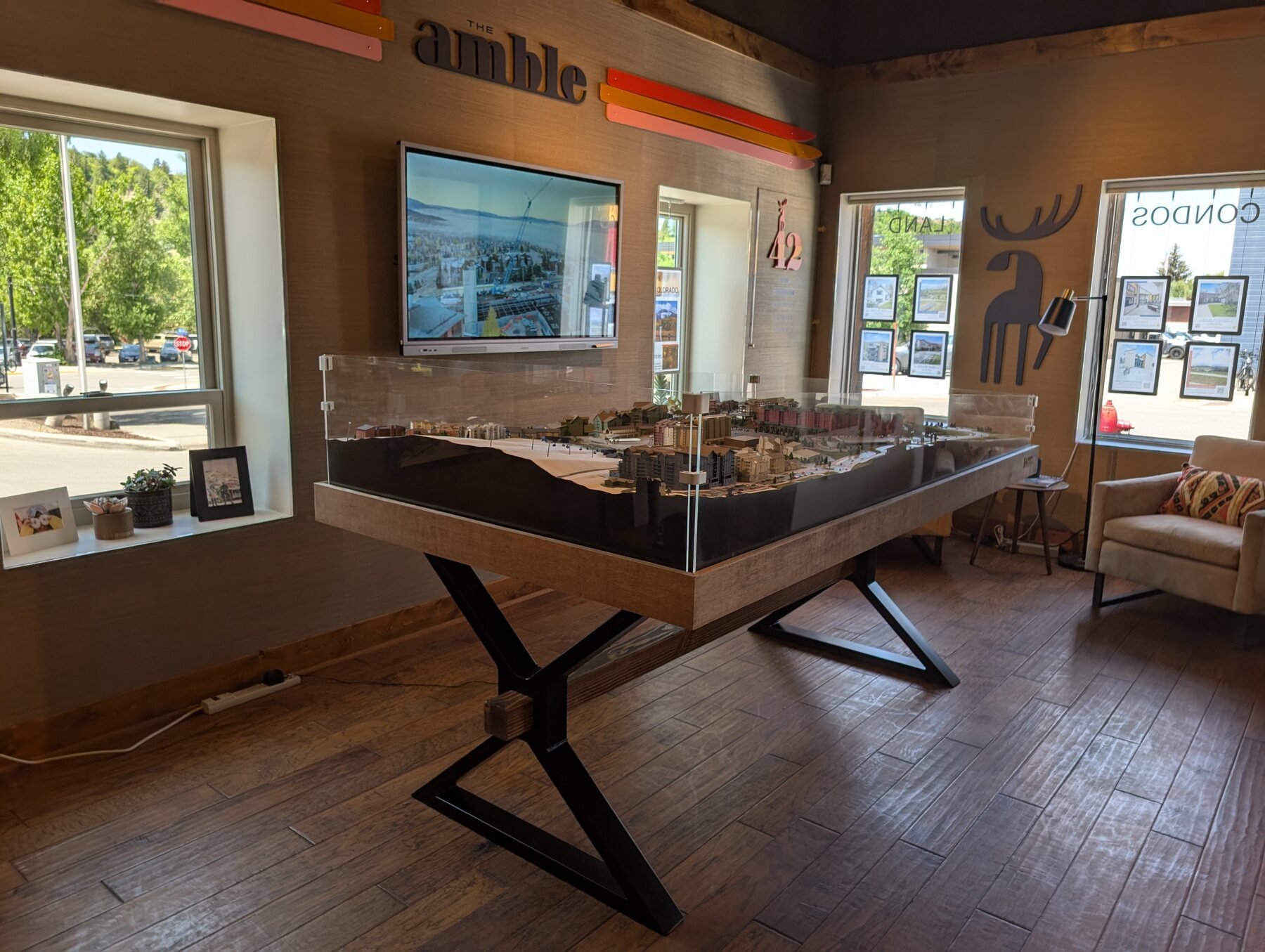
The slope around The Amble in Steamboat Springs is central to understanding that development. Golf course models use the same terrain-first approach: Cornerstone shows its holes and playing route in the landscape, while City Park combines course information with drone-collected elevation data. The Daybreak model covers a much wider area, with landforms, roads, paths and lots all visible. We choose the area, scale and finish with the client after seeing the source material. See the Cornerstone golf course model or the City Park course model.
GETTING STARTED
Planning a project
What it costs
Archetype3D prices every model by shop time, at about $5,000 per week, with a fixed-cost proposal for each project. Models range from about $5,000 for a simple study model to $150,000 for a large, complex multi-building development. For topography and site models, the main cost drivers are terrain detail, site area and building or course detail. See what a custom scale model costs.
Common questions
What is a topographic model?
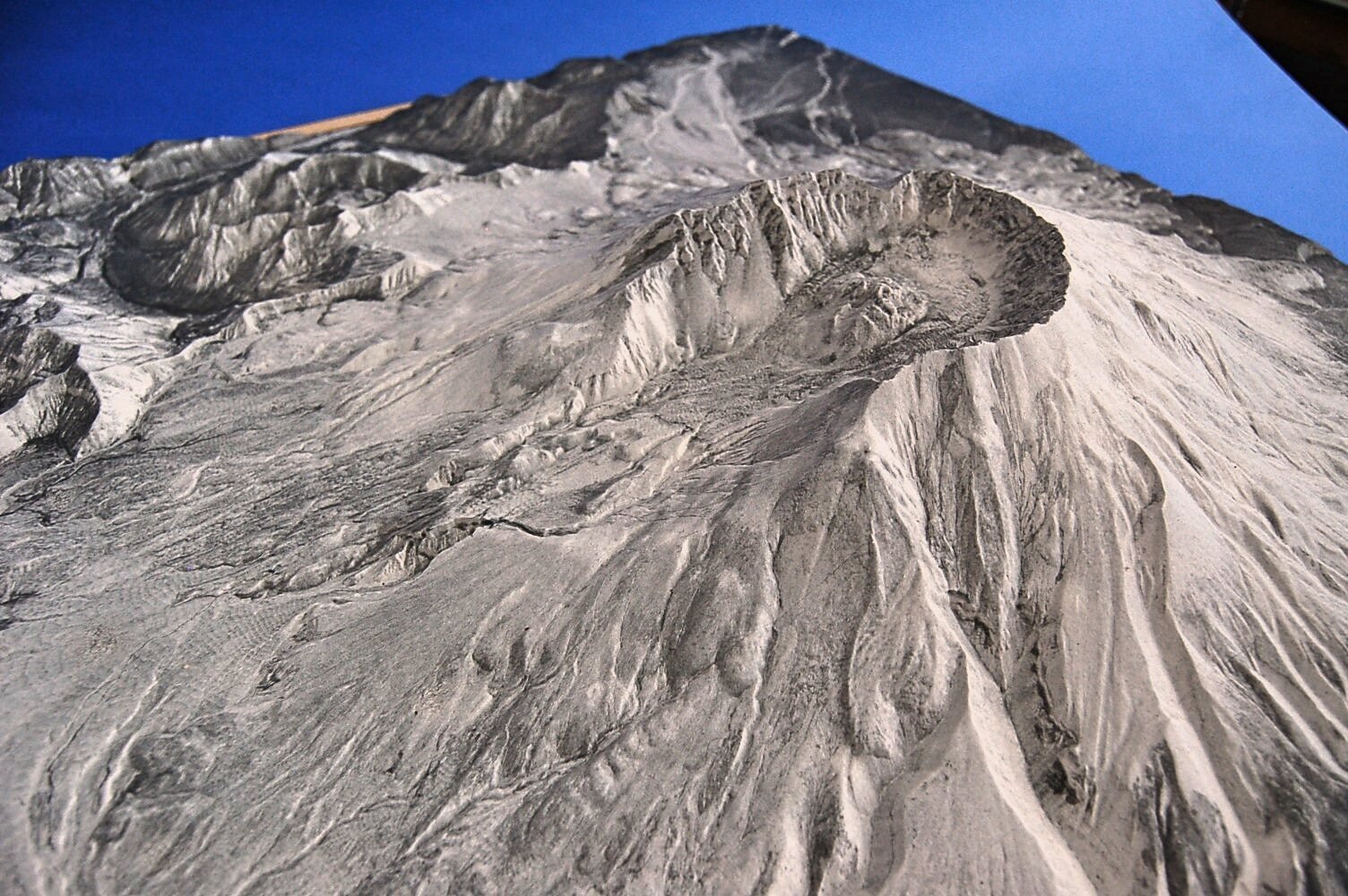
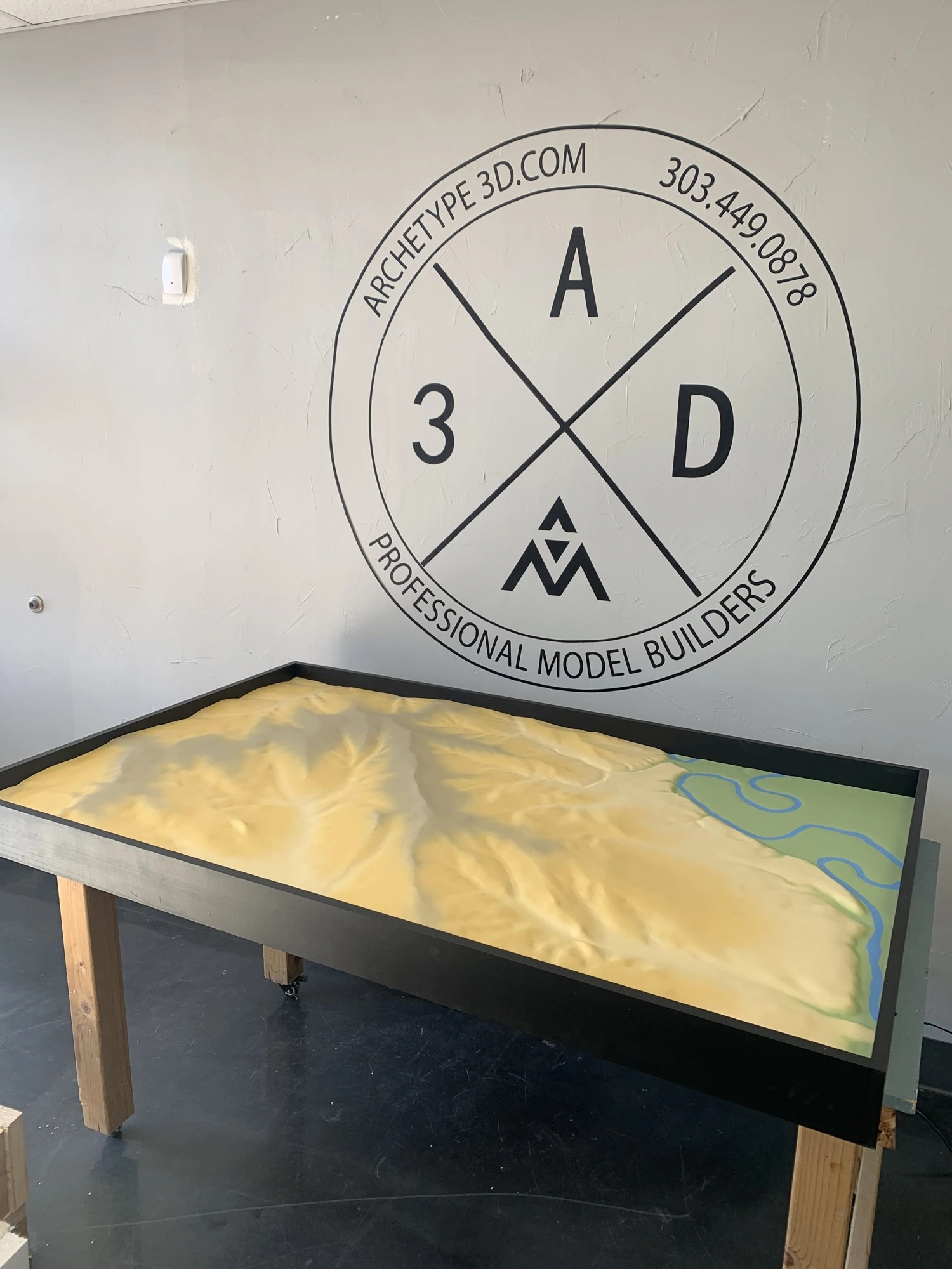
It’s a physical model of the land itself, with its slopes, valleys and water, often with roads or buildings placed on top. Our guide to topographic models explains when a project needs one. Topographic model guide.
What’s the difference between a topography model and a site model?
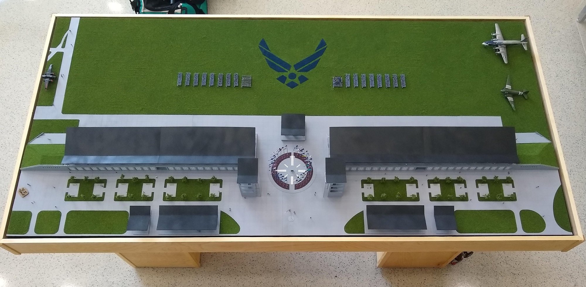
A site model shows how a building fits into its surroundings, with the building usually leading. A topography model puts the land first. Many projects sit somewhere in between, with terrain, roads and buildings in one view.
What source material do you need?
A survey, elevation data or site drawings help us understand the landscape. If you’re not sure what exists for your site, tell us about the place and we’ll talk it through.
Can you build a golf course model?
Yes. Our topography and site model work includes golf courses. See the Cornerstone golf course model.
How much does a topography or site model cost?
Archetype3D prices every model by shop time, at about $5,000 per week, with a fixed-cost proposal for each project. Models range from about $5,000 for a simple study model to $150,000 for a large, complex development. For topography and site models, the main cost drivers are terrain detail, site area and building or course detail. See the cost guide. Cost guide.
START A CONVERSATIONNeed to show a site in three dimensions?
Share what the model needs to show and who it’s for, and we’ll help you think through scale, details and next steps.
Contact us