Iowa Terrain Model
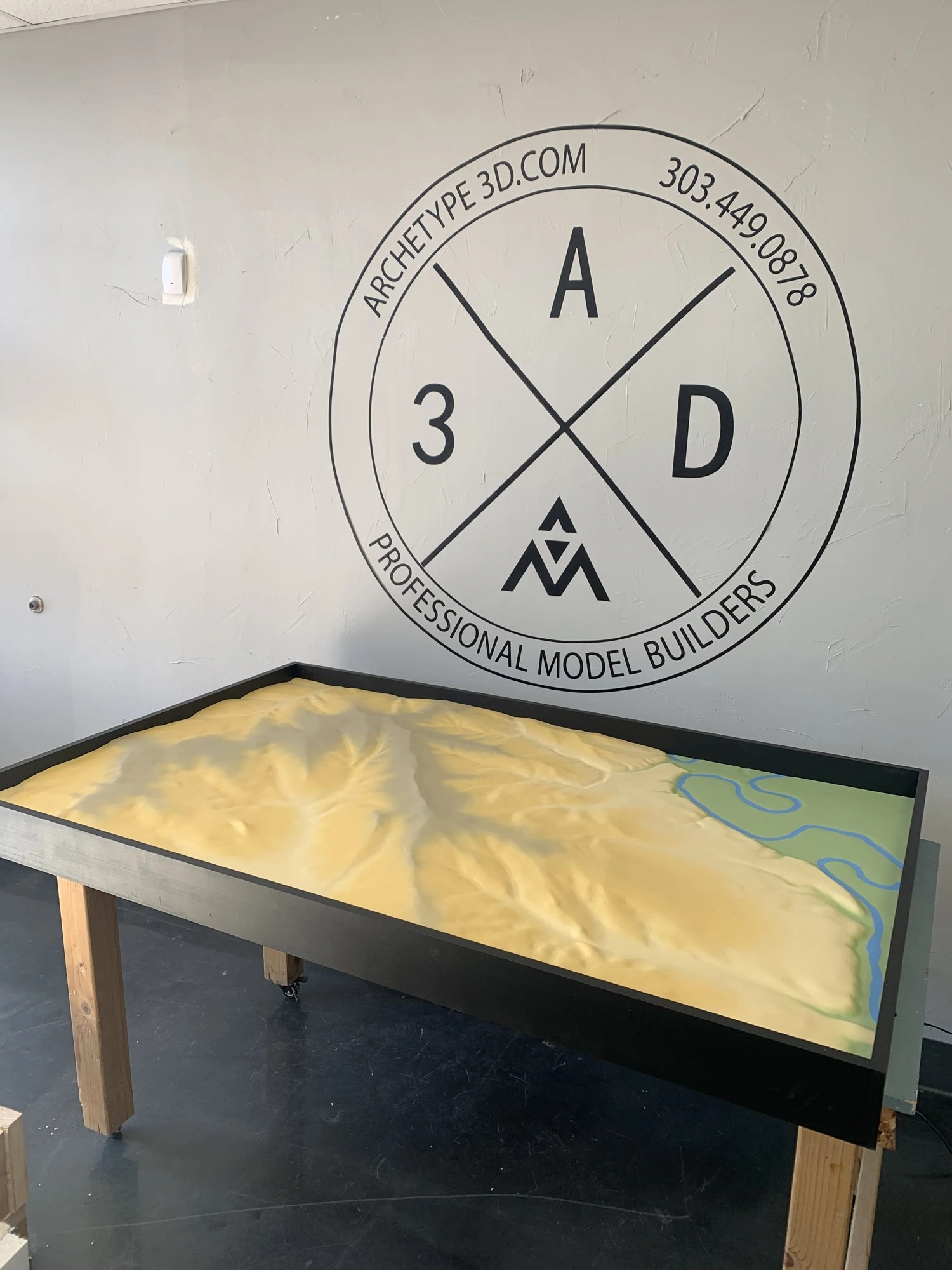
This physical terrain model shows the river and surrounding landforms together, with a simple finish that keeps the changes in elevation clear.
A closer look at the landscape
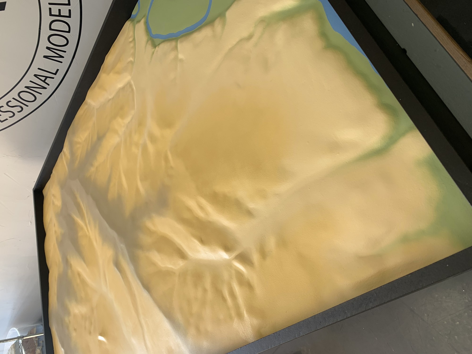
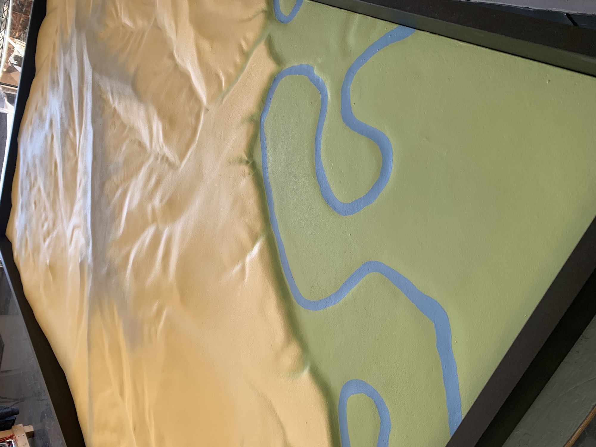
A closer look at the landscape The river winds around the raised landforms, standing out in blue against the pale terrain. Keeping the finish simple makes the changes in elevation easy to follow, whether you are looking at the whole landscape or studying a smaller area.
More topography & site models- Project type
- Topography model
- Purpose
- This physical terrain model shows the river and surrounding landforms together, with a simple finish that keeps the changes in elevation clear
- Features
- This physical terrain model shows the river and surrounding landforms together, with a simple finish that keeps the changes in elevation clear
More views of the model
A raised view of the Iowa landscape
The Iowa terrain project translates a broad landscape into a physical form that can be read at a glance. A raised model gives viewers a way to compare changes in elevation and follow the continuity of the terrain across the region. For a planning, education or presentation setting, the value is in making geographic relationships visible without requiring viewers to interpret a flat map alone. Scale and exaggeration are selected to suit the intended viewing distance and source data.
Other projects
Plan your model
See our scale model cost guide.