Aurora Highlands
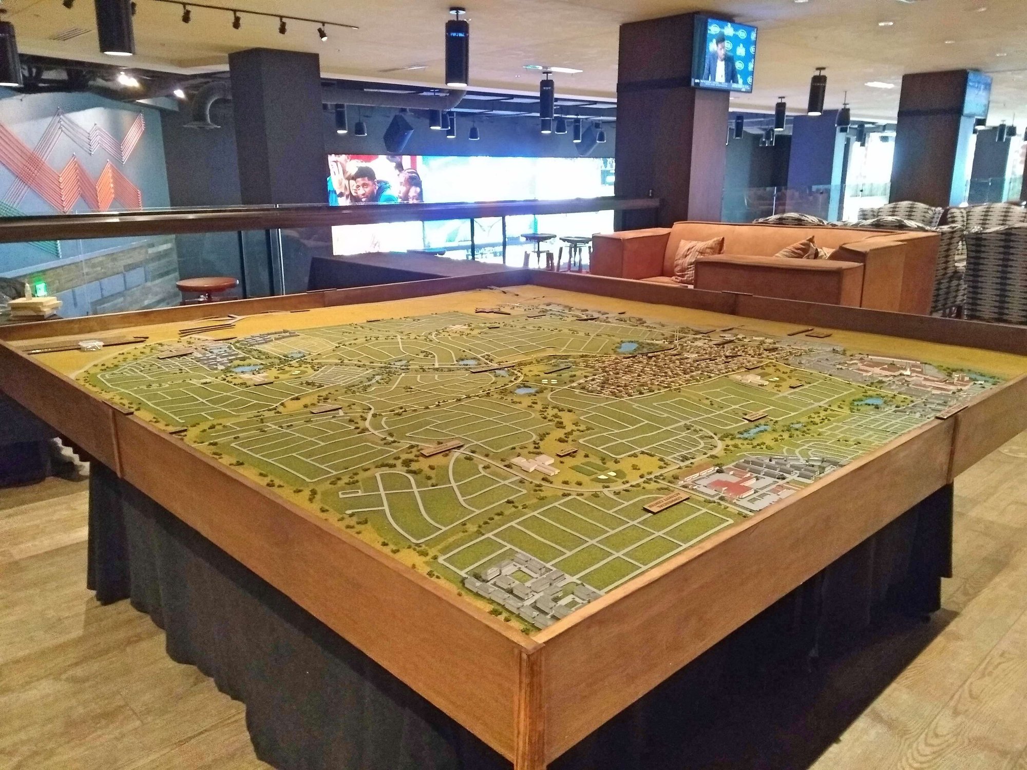
Our 8 by 8 foot Aurora Highlands topography model brings the master plan into one view, from the first development phase to roads, parks and the creek.
Aurora Highlands
Aurora Highlands It shows the shape of the property, the first development phase, roads, parks, amenities, the creek and urban spaces. A visitor can find a part of the plan without losing sight of the whole site.
More real estate development models- Project type
- Real estate development
- Model size
- 8 × 8 ft
- Scale
- 1 in = 110 ft
- Purpose
- Our 8 by 8 foot Aurora Highlands topography model brings the master plan into one view, from the first development phase to roads, parks and the creek
- Features
- Our 8 by 8 foot Aurora Highlands topography model brings the master plan into one view, from the first development phase to roads, parks and the creek
More views of the model
Connecting the first phase to the full master plan
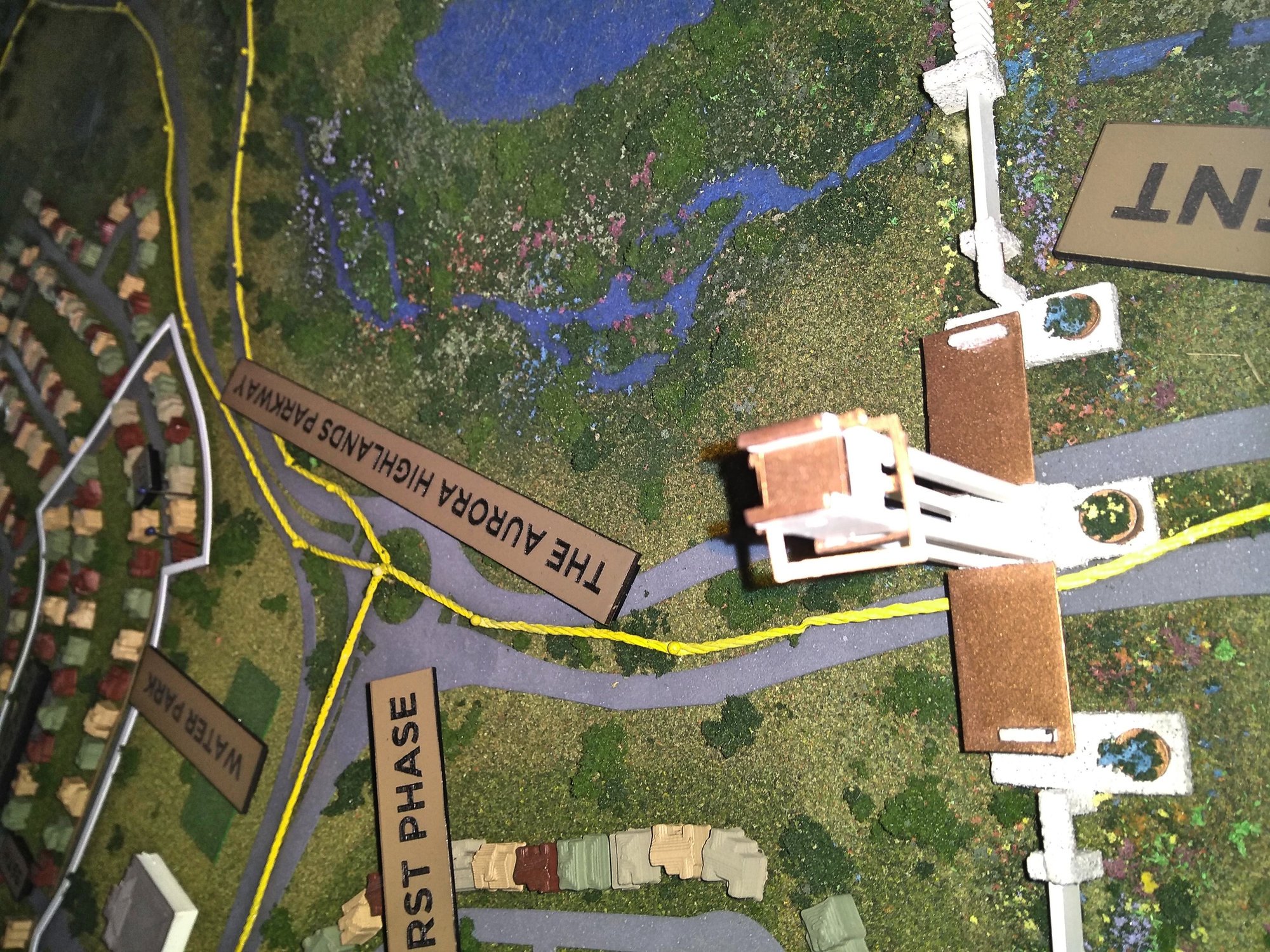
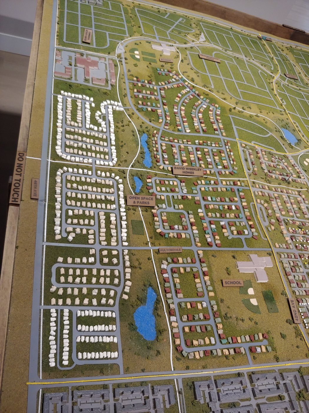
The 8 by 8 foot Aurora Highlands model at 1 inch to 110 feet places the first development phase within the broader property. Roads, parks, a creek, amenities and urban spaces help viewers orient themselves across the plan. This is useful in a sales or planning conversation because people can locate a particular area without losing the relationship to the larger development. Landscape and proposed places are visible together rather than as separate documents.
Other projects
Plan your model
See our scale model cost guide.