A mountain resort in one display
For Powder Haven at Powder Mountain, the brief called for ski runs, roads, parking, homes, lodges and lot lines across the mountain terrain. We built the large model in sections, about 126 by 110 inches at 1 inch to 300 feet, for transport and on-site assembly. A spring landscape with touches of snow at the highest elevations gives the display its character. (See Powder Mountain Terrain Model.)
Seeing where the homes sit
For Summit Sky Ranch, a mountain community in Colorado’s Blue River Valley, the land is a major part of the project. We put the development and terrain together so visitors could see where the homes sit in the larger setting. (See Summit Sky.) Our Marcella Club model shows a proposed Utah development’s golf course, roads, lot lines and amenities across the terrain. (See Marcella Club.)
Planning the model and the table together
For a ski and golf resort club in Big Sky, Montana, we built a terrain model of Spanish Peaks and Moonlight Basin for a sales-center display. We also made the table, so the mountain landscape and its presentation were planned together. (See Big Sky, Montana.)
Choosing the area, the scale and the source data
A terrain model starts with elevation data, a survey or site drawings. The area and scale decide how much of the surroundings you can show and how readable the slopes are. For more on those choices, see what a topographic model is. If a building is the main subject and the land is secondary, our architectural site models put it in context instead.
Where it fits in a sales presentation
A terrain model works best alongside the rest of your material. It shows where things are; renderings and drawings show what they’re like. For how that works in a sales center, see real estate development models for sales centers and our page on topography models.
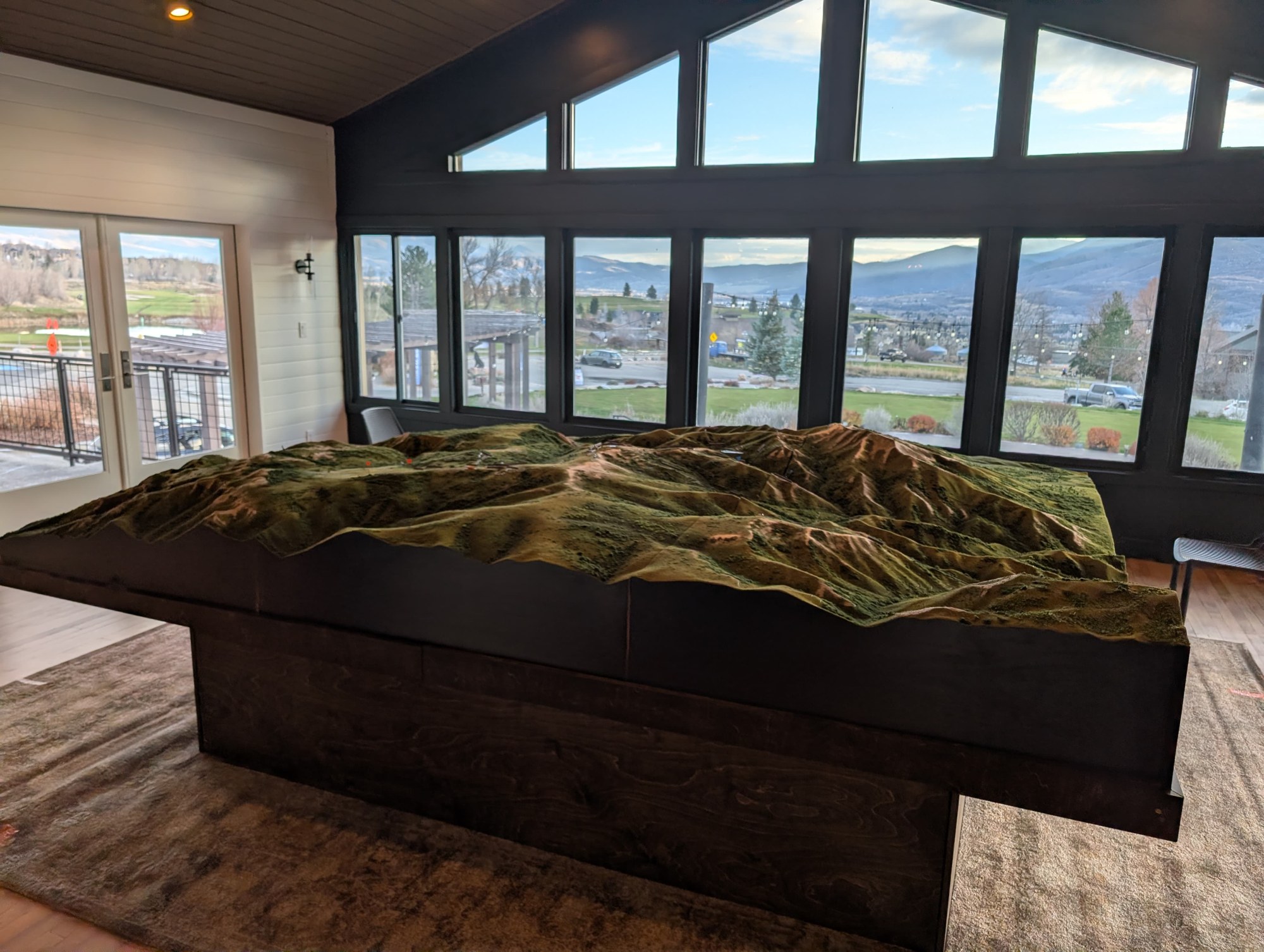
For an example, see our Powder Mountain Terrain Model project. We also have topography & site models in the portfolio.