
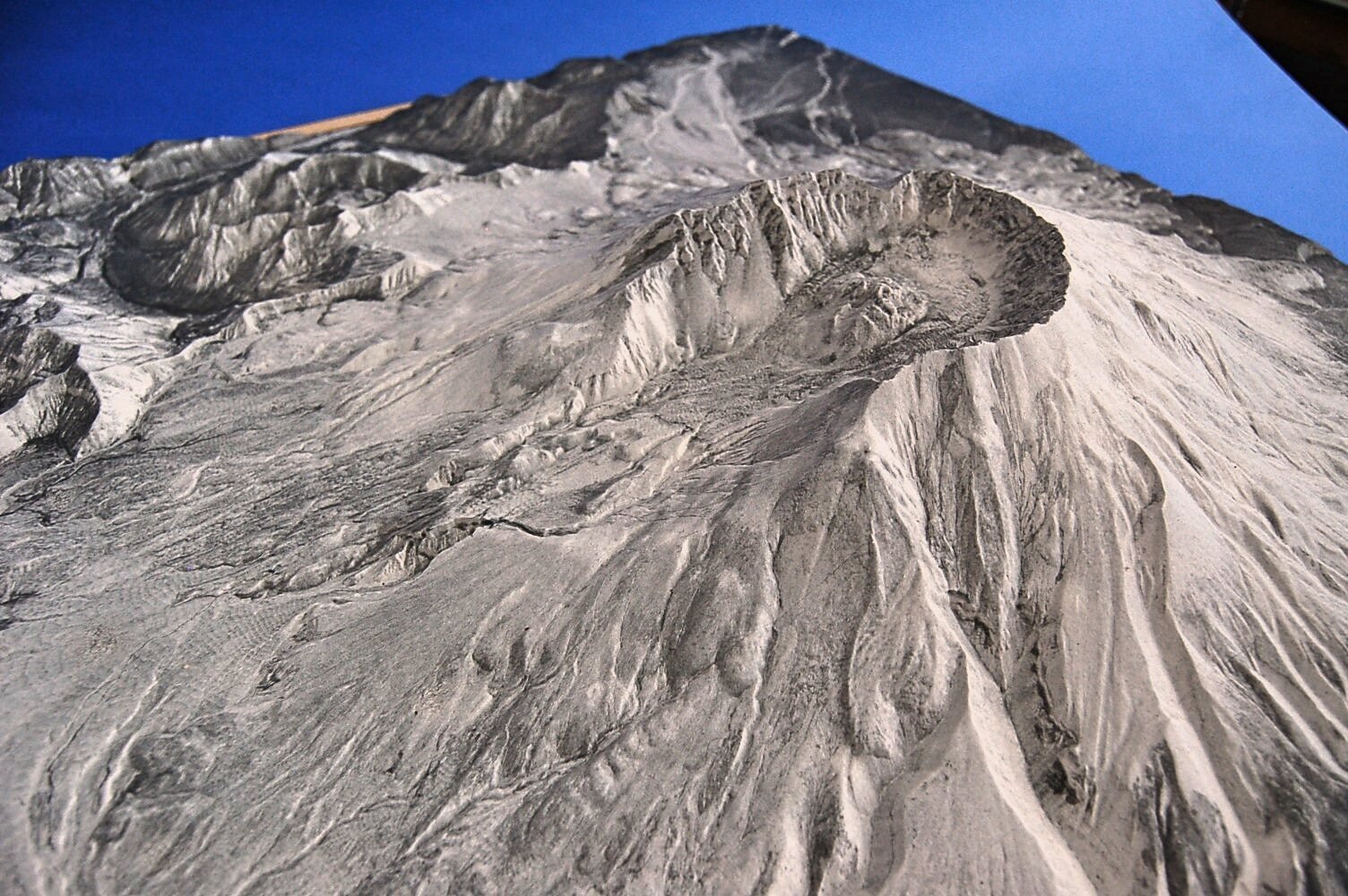
Mount St. Helens Terrain
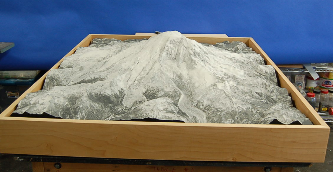
The Yakima Valley Museum asked us to make a terrain model of Mount St. Helens and the surrounding area. They wanted visitors to see the shape of the landscape in detail.
Mount St. Helens Exhibit
Mount St. Helens Exhibit We started with elevation data, made a 3D file and cut the topography on a CNC machine. We used satellite imagery for the laser-etched grayscale finish. The model measures 36 by 42 inches, at 1 inch to 1,500 feet. The grayscale finish keeps attention on the landforms and changes in elevation.
More museum & exhibit models- Project type
- Museum exhibit
- Model size
- 36 × 42 × 4.39 in
- Scale
- 1 in = 1,500 ft
- Purpose
- The Yakima Valley Museum asked us to make a terrain model of Mount St
- Features
- The Yakima Valley Museum asked us to make a terrain model of Mount St
- Client
- Yakima Valley Museum
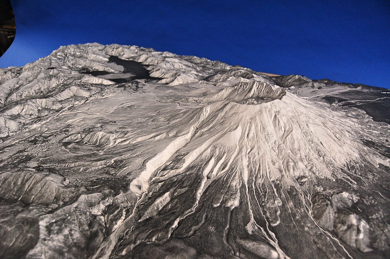
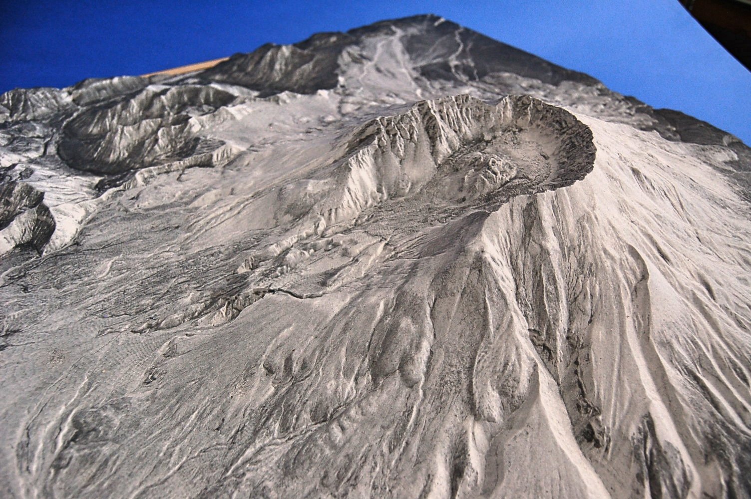
More views of the model
Interpreting a volcanic landscape in a museum
The Yakima Valley Museum’s Mount St. Helens terrain model gives visitors a physical view of the region’s landforms. Elevation data shapes the relief, and the display’s surface helps distinguish ridges and valleys across the landscape. A terrain exhibit invites visitors to look from more than one angle and compare nearby features in three dimensions, supporting interpretation of a place whose scale can be difficult to grasp from a flat map.
Other projects
Planning a similar model?
Explore related model services and our scale model cost guide.