
St. Charles Heritage Museum
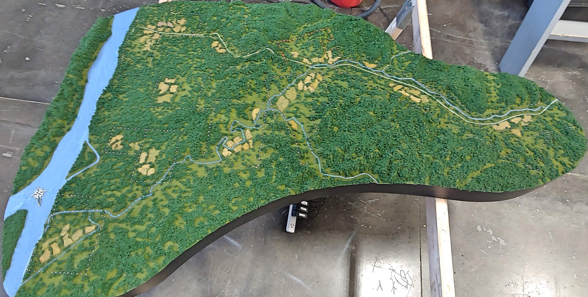
The St. Charles Heritage Museum asked us to build a terrain exhibit model that would help visitors understand its historic landscape, including the Missouri River’s earlier position.
St. Charles Heritage Museum
St. Charles Heritage Museum We combined elevation data with historic imagery. The vertical scale is exaggerated three times to bring out the landforms, and the Missouri River follows its historic position in the scene.
More museum & exhibit models- Project type
- Museum exhibit
- Model size
- 3 × 6 ft
- Scale
- 1 in = 600 ft
- Purpose
- The St
- Features
- The St
Making historical landscape change visible
For the St. Charles Heritage Museum, elevation data and historic imagery help explain the landscape and the Missouri River’s earlier position. The model’s vertical scale is exaggerated three times so the landforms are easier to read. At 3 by 6 feet and 1 inch to 600 feet, it gives visitors a physical way to compare terrain and historic geography, turning a change across time into something they can inspect spatially.
Exaggerating the vertical scale helps visitors notice terrain that might otherwise be subtle at the chosen horizontal coverage. This is a practical interpretive choice: it makes landform differences visible while retaining a clear relationship to the historic map and imagery.
Other projects
Plan your model
See our scale model cost guide.