Mount Rainier Terrain
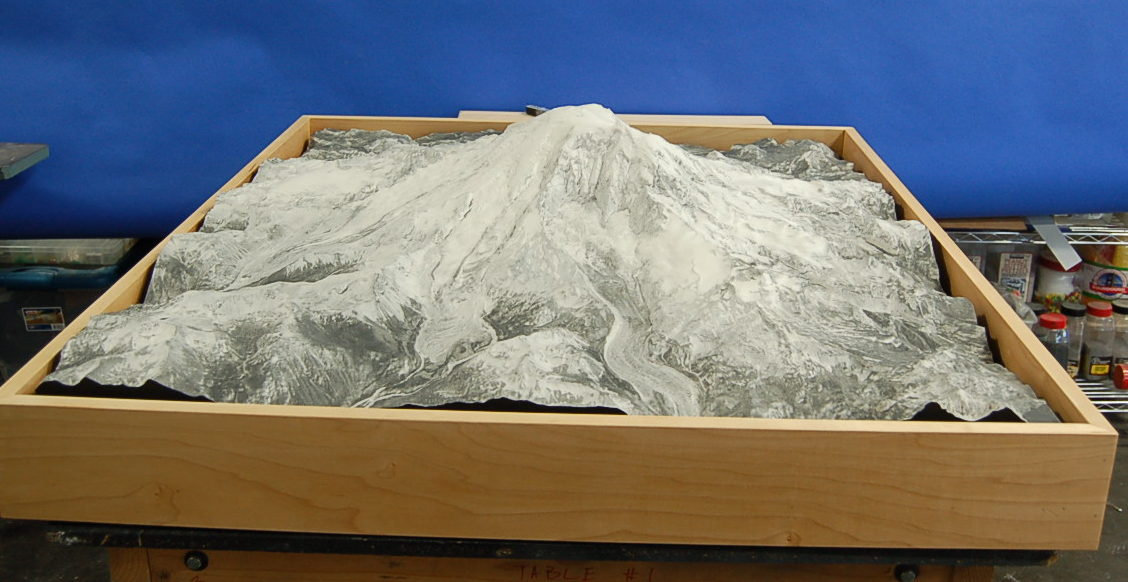
After our Mount St. Helens exhibit model, the Yakima Valley Museum asked us to build a companion terrain model of Mount Rainier using the same grayscale approach.
Mount Rainier Terrain
Mount Rainier Terrain We worked from elevation data, cut the terrain on a CNC machine and used satellite imagery to create the laser-etched grayscale surface.
More museum & exhibit models- Project type
- Museum exhibit
- Model size
- 36 × 42 × 8 in
- Scale
- 1 in = 1,500 ft
- Purpose
- After our Mount St
- Features
- After our Mount St
- Client
- Yakima Valley Museum
A grayscale terrain approach for Mount Rainier
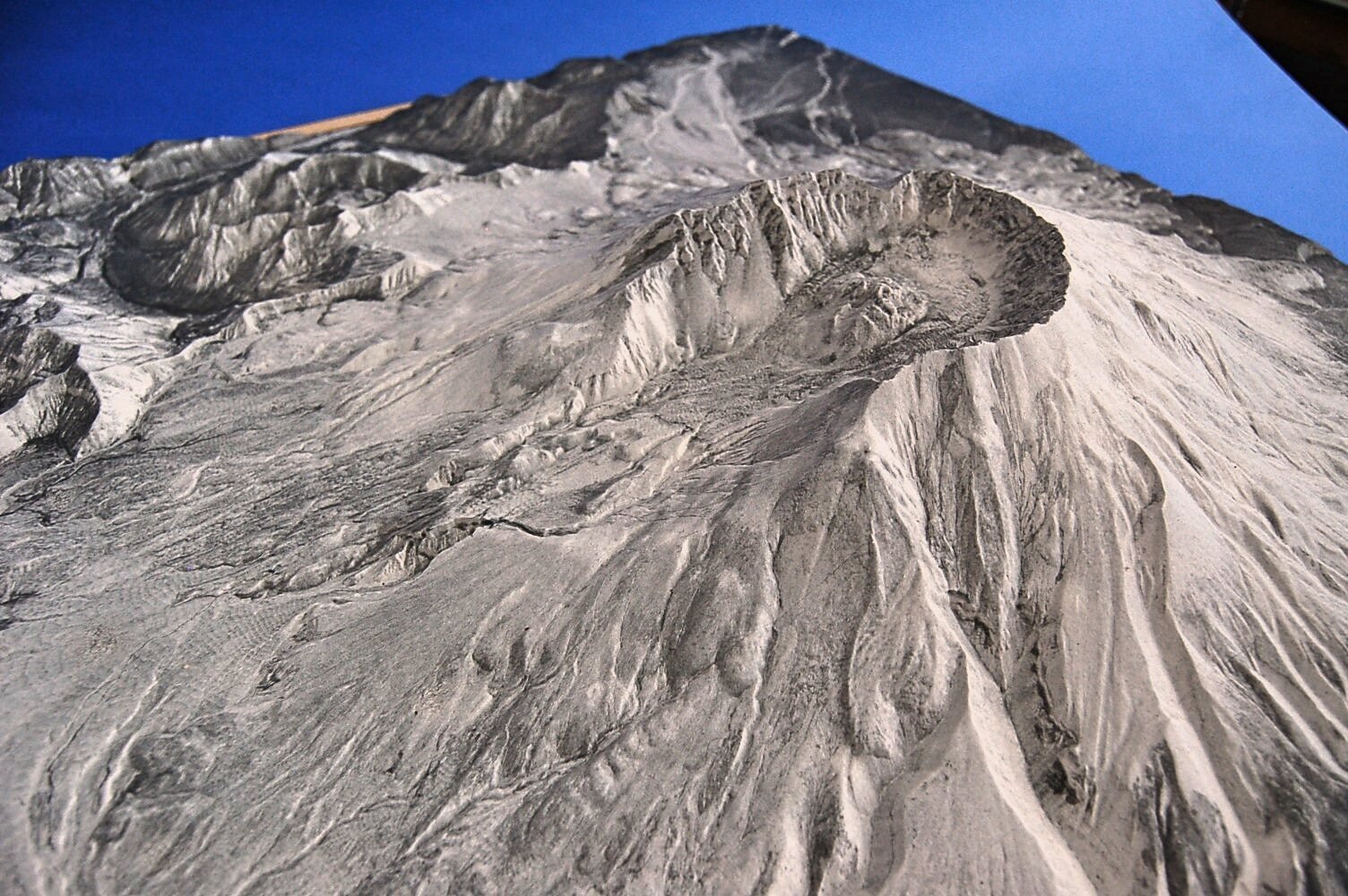
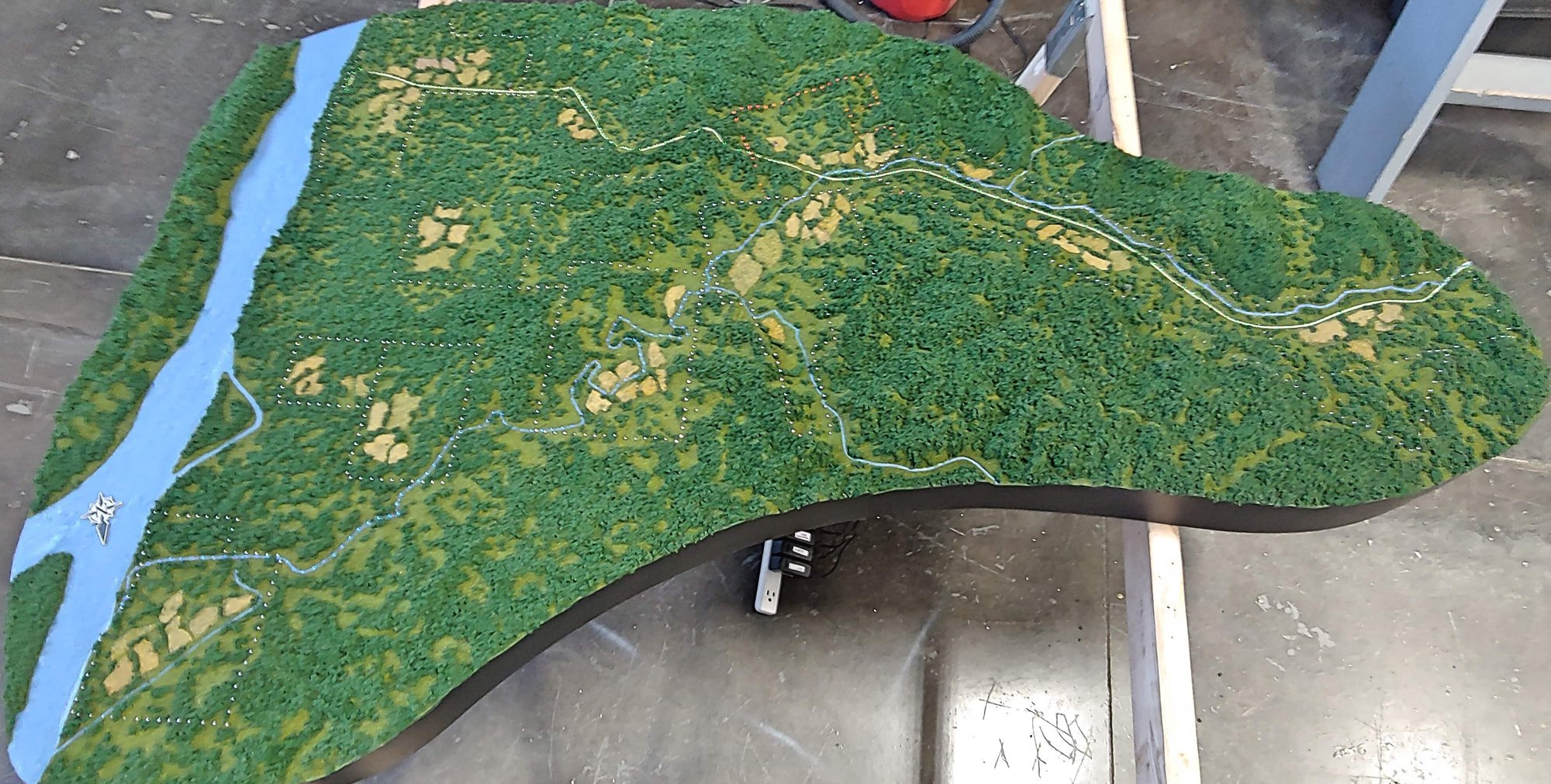
This companion model of Mount Rainier follows the grayscale approach developed for the earlier Mount St. Helens exhibit. Elevation data was CNC-milled into terrain, while satellite imagery informed a laser-etched grayscale surface. The 36 by 42 by 8 inch model at 1 inch to 1,500 feet uses relief and image detail together so visitors can study the mountain landscape as both landform and recognizable geographic setting.
The terrain surface can be read at more than one level: visitors see the mountain as part of a larger region, then look closer at changes in elevation. That combination of geographic image and physical relief supports informal exploration alongside the museum’s other interpretation.
Other projects
Planning a similar model?
Explore related model services and our scale model cost guide.