Petit Jean State Park
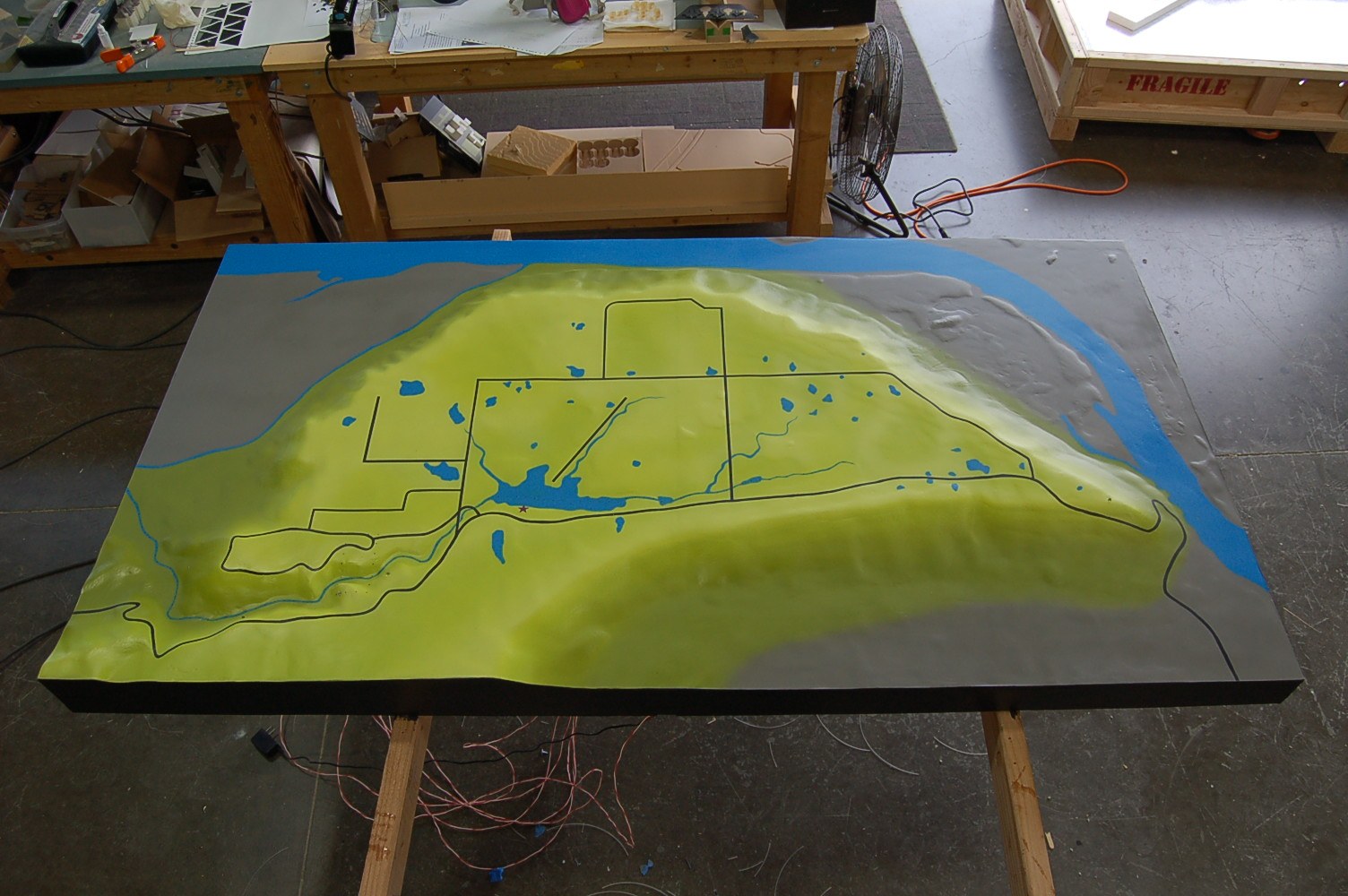
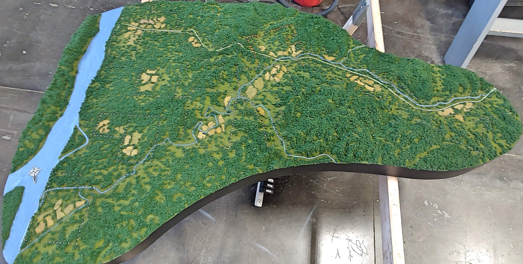
We worked with Taylor Studios on a terrain model for Petit Jean State Park, translating the landscape into a physical museum display.
Making the park’s terrain easier to explore
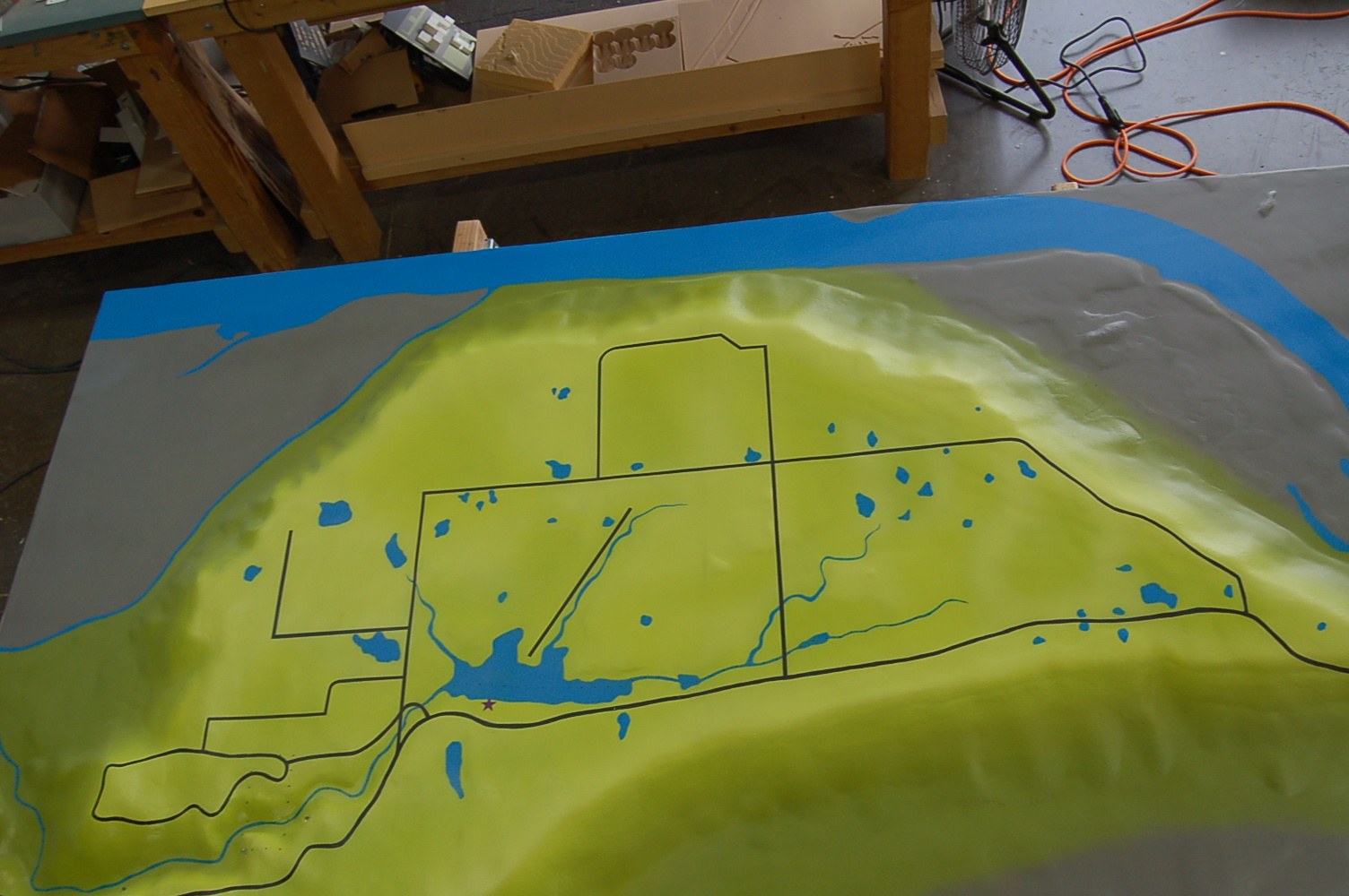
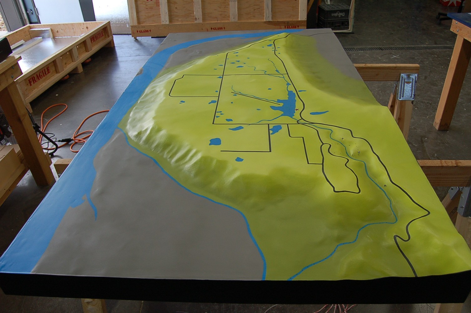
Making the park’s terrain easier to explore The model combines elevation data with the park’s maps, landmarks and boundaries. We increased the vertical relief by 1.5 times to make the hills and valleys easier to read, then painted the terrain and waterways to show their relationship. Roads and marked features help visitors find their way across the park.
More museum & exhibit models- Project type
- Museum / topography model
- Model size
- Approx. 40.5 × 74.5 in
- Scale
- 1 in = 600 ft; relief exaggerated 1.5×
- Purpose
- We worked with Taylor Studios on a terrain model for Petit Jean State Park, translating the landscape into a physical museum display
- Features
- We worked with Taylor Studios on a terrain model for Petit Jean State Park, translating the landscape into a physical museum display
More views of the model
Helping visitors locate features across the park
Created with Taylor Studios, the Petit Jean model combines elevation data with roads, landmarks and park boundaries. The vertical relief is 1.5 times the horizontal scale to make the hills and valleys easier to distinguish. Painted terrain and waterways add another layer of orientation. Together, these features help a visitor connect a map location with the landscape it represents, whether looking for a route, a landmark or the shape of the surrounding terrain.
Other projects
Planning a similar model?
Explore related model services and our scale model cost guide.