
Showing the course in its setting
For a ski and golf resort club in Big Sky, Montana, we built a terrain model of Spanish Peaks and Moonlight Basin for a sales-center display. We also made the table, so the landscape and its presentation were planned together. (See Big Sky, Montana.) Our Marcella Club model places a proposed Utah development’s golf course, roads, lot lines and amenities together across the terrain. (See Marcella Club.)
Showing the course itself
For Denver’s City Park golf course, we built a physical replica of the course, working from drone-collected elevation data, satellite imagery and course information. (See City Park Golf Course.) The Cornerstone golf course model shows the terrain, holes and course layout in one view, so visitors can follow the course across the landscape. (See Cornerstone Golf Course.)
Golf course presentation models
Whether you’re presenting a proposed course or an existing one, a model lets people follow the land from hole to hole and talk through the layout together.
What to decide before you start
How much of the course and its surroundings you want to show, where the model will be displayed, and what source material exists, such as a course plan, a survey or elevation data. We’ll recommend the area, scale and finish after seeing it. For more, see our page on golf course models and our guide to what a topographic model is.
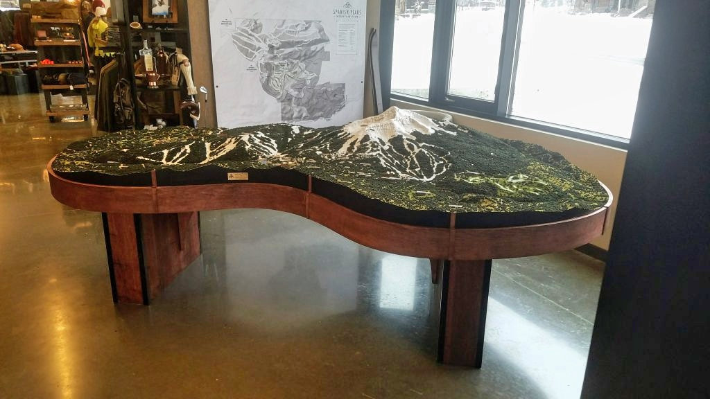
For an example, see our Big Sky, Montana project. We also have golf course models in the portfolio.